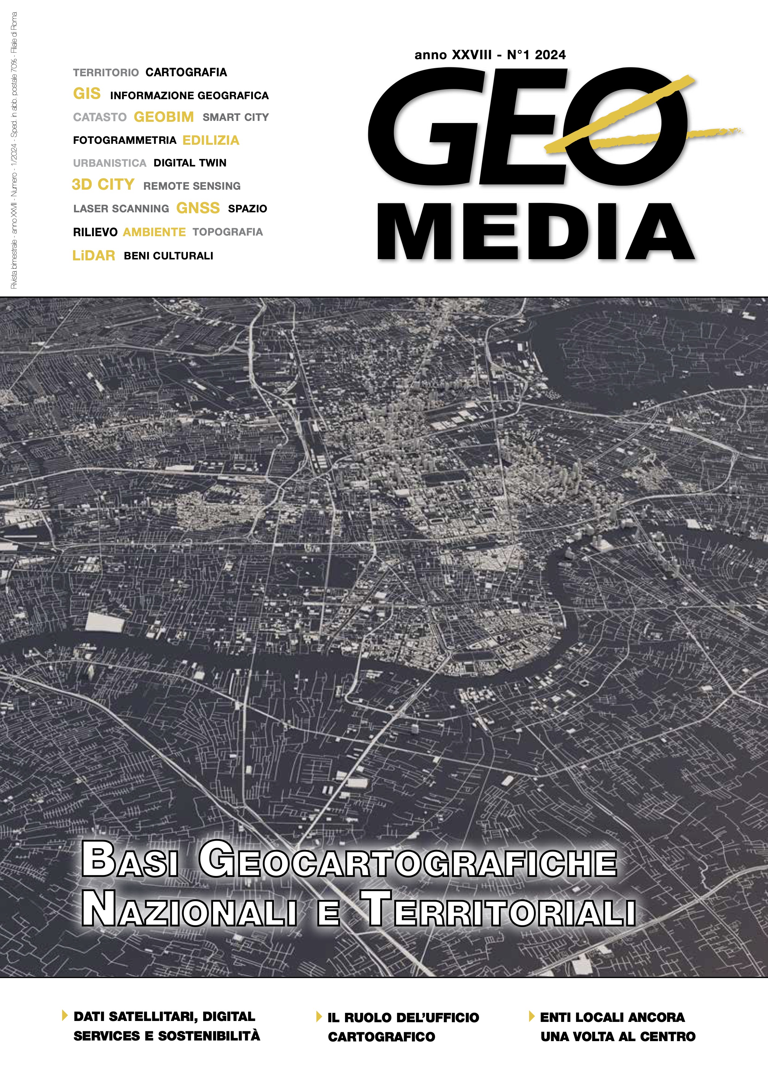
Dati satellitari di osservazione della Terra, strumenti digitali e città sostenibili
Parole chiave:
Digital Twin, satelliti, applicazioni, città sostenibili, osservazione della terra, EO, piattaformeAbstract
Earth Observation (EO) is nowadays a primary source of geospatial data to address urban applications. As information layers imported into GIS, EO products are increasingly exploited for cartographic purposes to improve cities representation. The Italian Space Agency (ASI) invests in novel satellite-based applications and digital tools facilitating EO data utilization. Such tools include: thematic exploitation platforms enabling EO data processing by nonexpert users through validated processors; dashboards wherein satellite products are among the input data used during the decision-making process; Digital Twins allowing for what-if scenarios and forecast activities. Recent user-driven developments are presented with regard to urban heat island, coastal applications, conservation of cultural heritage, monitoring and modelling of processes related to terrestrial water cycle.
Riferimenti bibliografici
ASI (2022), Piano Triennale delle Attività (PTA) 2022-2024, https://rb.gy/1pmdgz
Brocca, L. et al. (2024) A Digital Twin of the terrestrial water cycle: a glimpse into the future through high-resolution Earth observations. Frontiers in Science 1, https://doi.org/10.3389/fsci.2023.1190191
Candela, L. et al. (2021) The Italian Thematic Platform costeLAB: from Earth Observation Big Data to products in support to coastal applications
and downstream. Proceedings of the 2021 conference on Big Data from Space, Soille, P., Loekken, S. and Albani, S., eds., EUR 30697 EN, Publications Office of the European Union, Luxembourg, 2021, ISBN 978-92-76-37661-3, https://data.europa.eu/doi/10.2760/125905, JRC125131
Della Giovampaola, I. (2021) SyPEAH: The WebAPP System for Protection and Education to Archaeological Heritage in the Parco Archeologico del Colosseo. Geosciences 11, 246. https://rb.gy/1pmdgz
Demuzere, M., Kittner, J. & Bechtel, B. (2021) LCZ Generator: a web application to create Local Climate Zone maps. Frontiers in Environmental
Science 9, 637455, https://rb.gy/m5lz7f
ESA (2018), Thematic Exploitation Platform (TEPs), https://sdg.esa.int/ activity/thematic-exploitation-platform-teps-4319 (Retrieved: 20.03.2024).
Glaessgen, E. & Stargel, D. (2012) The digital twin paradigm for future NASA and US Air Force vehicles. 53rd AIAA/ASME/ASCE/AHS/ASC Structures, Structural Dynamics and Materials Conference 20th AIAA/ASME/AHS Adaptive Structures Conference 14th AIAA.
Oxoli, D., Cedeno Jimenez, J. R., Capizzi, E., Brovelli, M. A., Siciliani de Cumis, M., Sacco, P., & Tapete, D. (2023) QGIS and Open Data Cube
applications for Local Climate Zones analysis leveraging PRISMA hyperspectral satellite data. Int. Arch. Photogramm. Remote Sens. Spatial Inf. Sci.,
XLVIII-1/W2-2023, 111–116, https://doi.org/10.5194/isprs-archives-XLVIII-1-W2-2023-111-2023
Stewart, I. D. & Oke, T. R. (2012) Local climate zones for urban temperature studies. Bulletin of the American Meteorological Society 93, 12, 1879–1900, https://doi.org/10.1175/BAMS-D-11-00019.1
Vavassori, A., Brovelli, M. A., Capizzi, E., Venuti, G., Betti, B., Siciliani de Cumis, M., Sacco, P., & Tapete, D. (2023) Mapping Local Climate Zones
with multiple geodata and the Open Data Cube: insights of domain user requirements and outlooks of the LCZ-ODC project. Int. Arch. Photogramm. Remote Sens. Spatial Inf. Sci., XLVIII-1/W2-2023, 581–587,
https://isprsarchives.copernicus.org/articles/XLVIII-1-W2-2023/581/2023/, 2023
Dowloads
Pubblicato
Fascicolo
Sezione
Licenza

Questo volume è pubblicato con la licenza Creative Commons Attribuzione - Non commerciale - Condividi allo stesso modo 4.0 Internazionale.
Gli autori che pubblicano su questa rivista accettano le seguenti condizioni:- Gli autori mantengono i diritti sulla loro opera e cedono alla rivista il diritto di prima pubblicazione dell'opera, contemporaneamente licenziata sotto una Licenza Creative Commons - Attribuzione che permette ad altri di condividere l'opera indicando la paternità intellettuale e la prima pubblicazione su questa rivista.
- Gli autori possono aderire ad altri accordi di licenza non esclusiva per la distribuzione della versione dell'opera pubblicata (es. depositarla in un archivio istituzionale o pubblicarla in una monografia), a patto di indicare che la prima pubblicazione è avvenuta su questa rivista.
- Gli autori possono diffondere la loro opera online (es. in repository istituzionali o nel loro sito web) prima e durante il processo di submission, poiché può portare a scambi produttivi e aumentare le citazioni dell'opera pubblicata (Vedi The Effect of Open Access).


