
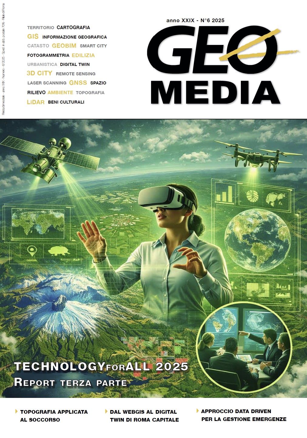
GIS, droni e rilievi: strumenti essenziali per la Protezione Civile
DOI:
https://doi.org/10.48258/Parole chiave:
protezione civile, GIS, droni, gestione emergenze, prevenzione, rilievo, monitoraggioAbstract
This article explores the crucial role of geospatial
and surveying technologies, specifically
Geographic Information Systems (GIS) and
drones (UAVs) , in modernizing Civil Protection
operations. Current challenges, exacerbated
by climate change and increasing urbanization,
necessitate rapid decisions based on up-to-date
data. The analysis illustrates the application of
these technologies across the entire risk cycle :
from planning and prevention—where GIS enables
risk area mapping, advanced impact simulations
(including with Digital Twins), and the
drafting of Emergency Plans —to monitoring
and emergency management. Drones, equipped
with sensors such as high-resolution and thermal
cameras, and LIDAR , provide rapid surveys
and 3D mapping , essential for real-time postdisaster
situation assessment. The conclusion
highlights that while the rapid development of
this technology offers a fantastic opportunity
for crisis management and coordination , there
remains a gap to bridge between technological
evolution and the operational practices of Civil
Protection.
Dowloads
Pubblicato
Fascicolo
Sezione
Licenza
Copyright (c) 2026 Antonio Soriano

Questo volume è pubblicato con la licenza Creative Commons Attribuzione - Non commerciale - Condividi allo stesso modo 4.0 Internazionale.
Gli autori che pubblicano su questa rivista accettano le seguenti condizioni:- Gli autori mantengono i diritti sulla loro opera e cedono alla rivista il diritto di prima pubblicazione dell'opera, contemporaneamente licenziata sotto una Licenza Creative Commons - Attribuzione che permette ad altri di condividere l'opera indicando la paternità intellettuale e la prima pubblicazione su questa rivista.
- Gli autori possono aderire ad altri accordi di licenza non esclusiva per la distribuzione della versione dell'opera pubblicata (es. depositarla in un archivio istituzionale o pubblicarla in una monografia), a patto di indicare che la prima pubblicazione è avvenuta su questa rivista.
- Gli autori possono diffondere la loro opera online (es. in repository istituzionali o nel loro sito web) prima e durante il processo di submission, poiché può portare a scambi produttivi e aumentare le citazioni dell'opera pubblicata (Vedi The Effect of Open Access).

