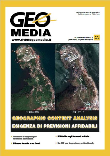
Geographic context scanning & analysis: il Modello Di Riferimento e le Operazioni
Parole chiave:
Geographic context analysis, geographic context scanning, Modelli di riferimento, Multicr iteria Spatial Decision Support SystemsAbstract
The aim of the article is to define a Reference Model and the operators which allow to perform the activities of Geographic Context
Scanning & Analysis. The theory and methods exposed will contribute to the evolution of the framework GEOPOI 2.0, developed and delivered by Sogei and acc essed as a SaaS (Software as a Serv ice) by a number of Public Administrations for your own institutional tasks.
Riferimenti bibliografici
Egenhofer M., Formal Definition of Binary Topological Relationships, Lecture notes in Computer Science, Vol 387, June 1989;
Cà mara G., ed altri, Towards an Algebra of Geographic Fields, VII Simposio Bresileiro de Computacao Grafica e Processamento de Imagens, Anais, Curtiba, 1994, pp 205-212;
Randell D., ed altri, A Spatial Logic based on Regions and Connection – 3rd I nt. Conf. on Knowledge Representation and Reasoning, Morgan Kaufmann, 1992;
Tomlin, D, Geographic Information Systems and Cartographic
Modeling, Englewood Cliffs, NJ, Prentice-Hall, 1990;
M. Rosina, A. Bottaro, GEOPOI per la geocodifica dei punti di interesse - rivista GEOmedia Nro. 2, 2007 – pp 15-17;
M. Rosina, Visual Programming per l'interfaccia utente di GEOPOI 2.0 in Sogei – rivista GEOmedia Nro. 2, 2012 – pp 28-30;
Dowloads
Pubblicato
Fascicolo
Sezione
Licenza
Gli autori che pubblicano su questa rivista accettano le seguenti condizioni:- Gli autori mantengono i diritti sulla loro opera e cedono alla rivista il diritto di prima pubblicazione dell'opera, contemporaneamente licenziata sotto una Licenza Creative Commons - Attribuzione che permette ad altri di condividere l'opera indicando la paternità intellettuale e la prima pubblicazione su questa rivista.
- Gli autori possono aderire ad altri accordi di licenza non esclusiva per la distribuzione della versione dell'opera pubblicata (es. depositarla in un archivio istituzionale o pubblicarla in una monografia), a patto di indicare che la prima pubblicazione è avvenuta su questa rivista.
- Gli autori possono diffondere la loro opera online (es. in repository istituzionali o nel loro sito web) prima e durante il processo di submission, poiché può portare a scambi produttivi e aumentare le citazioni dell'opera pubblicata (Vedi The Effect of Open Access).


