
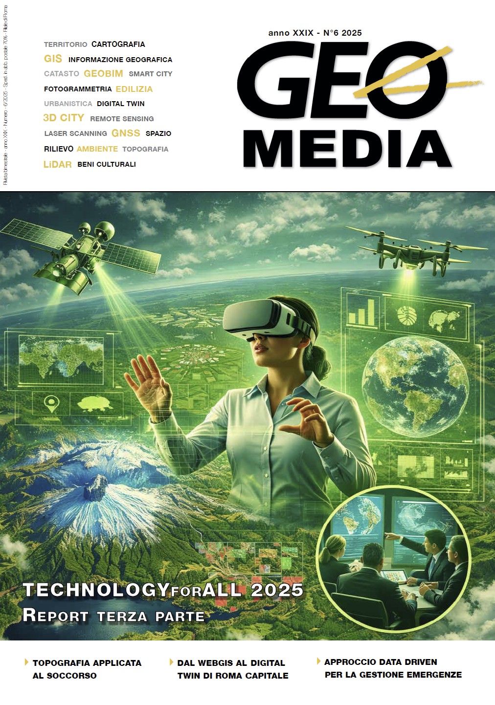
L’evoluzione del sistema geografico di Roma Capitale: dal webGIS al Digital Twin
DOI:
https://doi.org/10.48258/Parole chiave:
cartografia, GIS, webGIS, sistemi geografici, Georoma, 3D, digital twinAbstract
This article illustrates the evolution of GeoRoma, the institutional geographic ecosystem of Roma Capitale, towards
the implementation of an urban Digital Twin. Through the integration of certified territorial data, the adoption of interoperable standards (OGC/API), and the use of advanced technologies such as 3D texturized meshes and BIM models,
the project aims to provide a dynamic tool for the planning and management of over 1,289 sq. km of territory. The article
examines the system's microservices architecture, the 2022-2025 data acquisition campaigns, and the strategic objectives
for 2026, which focus on continuous monitoring via AI and satellites to ensure a more resilient, secure, and sustainable
city.
Dowloads
Pubblicato
Fascicolo
Sezione
Licenza
Copyright (c) 2026 Daniele Condurso, Marco Mechini

Questo volume è pubblicato con la licenza Creative Commons Attribuzione - Non commerciale - Condividi allo stesso modo 4.0 Internazionale.
Gli autori che pubblicano su questa rivista accettano le seguenti condizioni:- Gli autori mantengono i diritti sulla loro opera e cedono alla rivista il diritto di prima pubblicazione dell'opera, contemporaneamente licenziata sotto una Licenza Creative Commons - Attribuzione che permette ad altri di condividere l'opera indicando la paternità intellettuale e la prima pubblicazione su questa rivista.
- Gli autori possono aderire ad altri accordi di licenza non esclusiva per la distribuzione della versione dell'opera pubblicata (es. depositarla in un archivio istituzionale o pubblicarla in una monografia), a patto di indicare che la prima pubblicazione è avvenuta su questa rivista.
- Gli autori possono diffondere la loro opera online (es. in repository istituzionali o nel loro sito web) prima e durante il processo di submission, poiché può portare a scambi produttivi e aumentare le citazioni dell'opera pubblicata (Vedi The Effect of Open Access).

