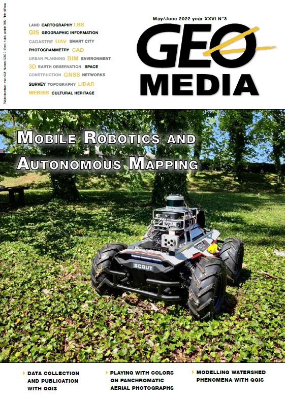
From the field to the clouds: data collection and publication with QGIS
Abstract
QGIS is the leading free and open source desktop GIS. It is also a complete ecosystem, that allows to build complete workflows, from field data collection to publication on the web.
Central to it are QGIS projects, that define data sources, projections, styling and integration, and are reused from mobile to the web without a need to reconfigure them. We describe the main solutions available for data collection and seamless publication over the web: MerginMaps, Qfield, Lizmap, with an example form a water resources project in Gambia.
Downloads
Published
2022-12-02
How to Cite
Cavallini, P., Ghetta, M., & Cavallini, U. (2022). From the field to the clouds: data collection and publication with QGIS. GEOmedia, 26(3). Retrieved from https://ojs.mediageo.it/index.php/GEOmedia/article/view/1877
Issue
Section
FOCUS
License

This work is licensed under a Creative Commons Attribution-NonCommercial-ShareAlike 4.0 International License.
Gli autori che pubblicano su questa rivista accettano le seguenti condizioni:- Gli autori mantengono i diritti sulla loro opera e cedono alla rivista il diritto di prima pubblicazione dell'opera, contemporaneamente licenziata sotto una Licenza Creative Commons - Attribuzione che permette ad altri di condividere l'opera indicando la paternità intellettuale e la prima pubblicazione su questa rivista.
- Gli autori possono aderire ad altri accordi di licenza non esclusiva per la distribuzione della versione dell'opera pubblicata (es. depositarla in un archivio istituzionale o pubblicarla in una monografia), a patto di indicare che la prima pubblicazione è avvenuta su questa rivista.
- Gli autori possono diffondere la loro opera online (es. in repository istituzionali o nel loro sito web) prima e durante il processo di submission, poiché può portare a scambi produttivi e aumentare le citazioni dell'opera pubblicata (Vedi The Effect of Open Access).


